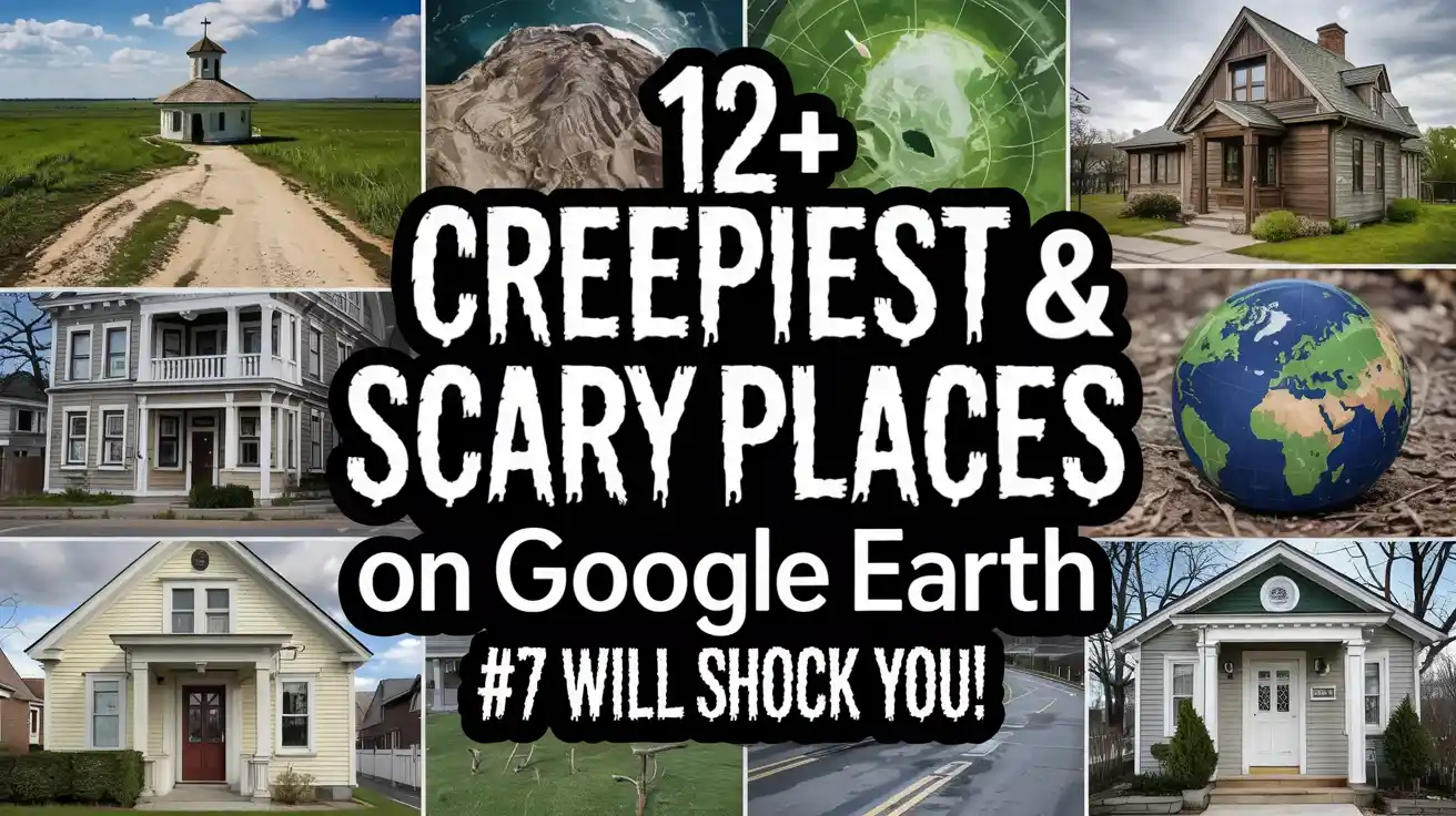
12+ Bone-Chilling Scary Places on Google Earth You Won’t Believe Actually Exist
What if I told you that you could explore haunted houses, ghost towns, and mysterious symbols without ever stepping outside? That’s exactly what scary places on Google Earth lets you do!
Google’s amazing satellite technology has captured some of the world’s strangest and most frightening locations. From burning craters that never stop to underwater cities frozen in time, our planet hides incredible secrets.
Kids and adults alike love searching for these creepy coordinates online.
12+ Creepy Google Earth Coordinates That’ll Haunt Your Dreams Tonight
In this article, you’ll discover 12+ mind-blowing places that range from genuinely scary to just plain weird. Get your flashlight ready (just kidding!) and prepare to explore the mysterious side of our world through your screen!
1. Blood Lake, Iraq

There is one horrific sight in Iraq in the form of a mysterious lake, named Blood Lake. This blood-red lake is located near Baghdad and represents a shocking shade of red.
What caused this lake’s color to be creepy? Some claimed it was because of nearby factories dumping chemicals, while others thought it might be blood from slaughterhouses. But in reality, this lake’s color is red because of the blooming of special bacteria or algae.
Coordinates: 33.396° N, 44.487° E
Fun fact: The lake first achieved viral fame in the mid-2000s when its startling dark red color appeared on Google Earth and sparked numerous conspiracy theories globally, ranging from alien interference to prophetic signs.
2. The Boneyard, USA

Number second on our list, we have The Boneyard, USA.
A massive junkyard or graveyard for missiles, aircraft, and old airplanes. The official name of Boneyard is 309th Aerospace Maintenance and Regeneration Group (AMARG).
This is one of the biggest and oldest storage facilities for retired aircraft all over the world. The whole story began in 1945 during World War 2 when U.S. Army officials wanted to park or store their aircraft in any designated place.
Coordinates: 32° 08′ N, 110° 50′ W
Fun fact: The Boneyard houses over 4,400 retired military and government aircraft (from B-52s to F-14s), making it the single largest repository of airframes in the world.
3. Pigeon People, Japan

At this point, if you read japan anywhere, you should instantly think about something shocking.
Pigeon people in Japan are one of the creepiest and scariest places on Google Earth, Reddit. No doubt Japan is famous for some pretty unique things, but this one has the weirdest part.
There is a group of students wearing real-type pigeon masks. They passed or walked in a way that it became one of the scary places on Google Maps Street View and an unexpected Google Maps Street View, making it a widely searched photo on the internet.
Coordinates: 35.7° N, 139.5° E
Fun fact: The image was widely shared across the internet in the early 2010s, earning its eerie nickname “Pigeon People.” It remains a favorite example of how digital mapping errors can create the illusion of bizarre or supernatural happenings on Earth.
4. Nagoro Scarecrow Village, Japan

Within the remote valley of Japan, there is a small village named “Nagoro”. This populated village is not only a scary place but also one of disturbing places on earth that will leave you speechless.
Tsukimi Ayano is a local artist who made more than 300 life-sized scarecrows. Each scarecrow represents a person who passed away from the village, doing daily tasks like harvesting, gardening, and fishing. It is one of the creepiest places on Google Earth.
Coordinates: 33.856° N, 134.019° E
Fun fact: Despite its remote location deep in the Iya Valley on Shikoku Island, Nagoro draws visitors from around the globe due to its unique and bittersweet nature. It has been the subject of several international documentaries and news reports, transforming a fading rural community into a destination of dark tourism and cultural preservation.
5. Blood Lake, Mongolia

Have you ever seen a lake so red it looks like something of a real creepiest incident? That is the blood lake in Mongolia. The lake is seriously creepy, and there are various wild stories about it.
Its spooky appearance has left scientists speechless at first glance, but with time, they came up with the fact that it may be because of algae and microorganisms in the water. This blood lake definitely stands out from other normal lakes with green scenery and blue waters.
Coordinates: 47°42′N 93°25′E
Fun fact: The vivid red hue of these lakes is often seasonal. The color only becomes intense when the temperature is high, the water level is low, and the salt concentration peaks, accelerating the growth of the red algae or brine shrimp.
6. Giant Pink Bunny, Italy
The land of pizza, Italy might be famous for food but it is also a land of pink bunnies.
For most people this might not be so scary. Some even find it cute but a giant bunny in the middle of nowhere is definitely weird. This might just be one of the most haunted and scary places on Google Earth for free in this list. Basically, a giant-sized disfigured bunny in the middle of nowhere.
Back in 2005, a group of artists decided to create an installation by placing a giant-sized bunny on a mountain in Colletto Fava. The purpose of this mysterious piece was to let tourists play and climb with the bunny to enjoy the mysterious existence on earth.
Coordinates: 44.244° N, 7.769° E
Fun fact: The Gelitin collective installed the rabbit in 2005 with the intention that it would decompose naturally. They calculated its lifespan to be about 20 years, slowly dissolving back into the hillside by 2025.
7. The Pentagram, Kazakhstan

The Pentagram is a big five-pointed star embedded into the ground deep and has sparked various wild ideas on Google Earth. As a symbol, Pentagrams have a rich history across various regions and states.
The fact of this pentagram not only makes others speechless, but some folks think it could be a sign of devil worship. This giant star is actually the remains of an unfinished Soviet-era park, an abandoned and overgrown place to see for spooky enthusiasts.
Coordinates: 52°28’46″N 62°11’08″E.
Fun fact: The pentagram is enormous, measuring approximately 366 meters (1,200 feet) in diameter. Its sheer size is why it is so clearly visible on satellite imagery like Google Earth.
8. The Gates of Hell, Turkmenistan

The Gates of Hell in Turkmenistan is also known as “Darvaza gas crater”. It is situated in the Karakum desert and looks like a giant hole spewing flames with creepiness.
The crater’s horror history began in 1980 and became a major tourist attraction, drawing in more than 9,000 visitors per year. At night, the view is truly awe-inspiring because the flames illuminate the whole sky, creating a unique and otherworldly atmosphere.
Coordinates: 40.2525° N, 58.4396° E
Fun fact: Despite its remote location—roughly 260 km (160 miles) from the capital city of Ashgabat—the crater has become a major, albeit unofficial, tourist attraction. Visitors often camp overnight near the edge of the crater to witness the spectacular, otherworldly glow after sunset.
9. The Ghost Town of Pripyat, Ukraine

Pripyat is the ghost town or place in Ukraine where the world’s nuclear accident occurred. It was once a lively place of more than 40,000 people in the form of workers.
Back in 1986, when the nuclear disaster occurred, all these people fled Pripyat in a single day, never to return.
In this place, the schools, hospitals, and homes are slowly being reclaimed by nature, and this place becomes a strange combo of human tragedy and nature’s beauty.
Coordinates: 51°24′17″N, 30°03′25″E
Fun fact: Pripyat was deliberately built in the 1970s to serve the Chernobyl Nuclear Power Plant. It was a modern Soviet city designed for the plant’s workers and their families. At the time of the evacuation in 1986, the average age of the residents was remarkably low—just 26 years old. It was a young, thriving city built for the future.
10. The Face in Desert, USA

The Nevada desert in the United States of America has another creepy and one of the funniest places on Google Earth coordinates, and there are various speculations about this place.
According to satellite imagery of Google Earth, it shows that there is a human-shaped face etched into the landscape of the deserts.
Some claim that it reveals ancient civilization, while others believe that it’s a natural rock formation. Whatever the cause is, one of the amazing, funny places on Google Earth Street View.
Coordinates: 37°24’05.7″N 116°52’04.1″W
Fun fact: The official name, “Badlands Guardian,” was the winner of a naming contest sponsored by CBC Radio. However, the formation is often informally called the “Indian Head” due to the appearance of the face and the “headdress” road.
11. The Outback Triangle, Australia

This is a giant triangle lies in Australian desert having strange lights at each corner, with size of a football field. The Outback Triangle is located within a remote area where weird happenings occurred.
The craziest part about the outback triangle is that this is most exactly opposite the Bermuda triangle. Also, the area is rich in Aboriginal history, blurring the lines between make-believe and real facts. Planes faced issues while flying over this place because of magnetic pressures.
Coordinates: 23°01’41”S, 67°45’08”W
Fun fact: The region contains sites that are among the oldest continuously inhabited places on Earth. Uluru, one corner of the unofficial “triangle,” is not just a geological wonder but a deeply sacred monolith central to the spiritual beliefs and creation stories (Dreaming) of the local Anangu people, dating back tens of thousands of years.
12. The Broken Face, Antarctica

In Antarctica, you will find a spot that looks like a giant, generally a broken human face. Undeniably, this eerie place sparked all types of wild ideas, a unique place to explore.
Moreover, “The Broken Face” is a part of an emerging trend empowered by Google Earth’s availability. In short, easy to easy-to-navigate places on Google Maps.
Some people claimed that they have even spotted a giant ice ship there with unique rock formations & geological formations.
Coordinates: 72°00’36″S 168°34’46″E
Fun fact: The feature appears unsettlingly large because the area is so featureless. The crevasse is hundreds of meters long, and the scale is only truly understood when comparing the feature to the vast, empty Antarctic landscape around it.
13. The Sunken City of Baia, Italy

Among the list of Backroom Google Earth coordinates, the last fiery place on Google Maps is the sunken city of Baia in Italy. This is a wealthy resort town in Naples.
Because of volcanic activity in the area, the ground began to sink in the past, turning a beautiful and glorious city into an amazing underwater archeological trail park.
Scientists are working diligently to protect this area further from volcanoes for future generations.
Coordinates: 40°49’00” N, 14°04’11” E
Fun fact: Because the city sank gradually and was covered by water and sand, many structures are remarkably well-preserved. Divers can swim over elaborate Roman mosaics, columns, and even statues that still lie on the seabed, offering an incredible glimpse into Roman daily life.
Now that you know about some of the creepiest places on Google Maps, you might be thinking, Why does Google Earth keep revealing haunted and unexplained places.
So, let’s explore the answer together.
Top Reasons Google Earth Keeps Revealing Haunted and Unexplained Places
Google Earth compiles images from satellites, aerial photography, and street-level imagery. Because it’s constantly updated, abandoned sites, disasters, and remote regions aren’t hidden—they’re preserved. This transparency is exactly why eerie discoveries keep going viral:
• Forgotten cars have solved cold cases
• Strange geometric patterns hint at forgotten civilizations
• Abandoned towns become digital ghost cities
• Dark tourism sites gain new life through virtual exploration
Google Earth has essentially become a global paranormal archive—one that continues to grow.
How to use Google Earth’s features to enhance the exploration of scary places?
To get the creepiest, most immersive experience on Google Earth, use these features:
1. Historical Imagery
Reveal how ghost towns, disaster zones, or ruins evolved over decades.
2. Street View
Wander through abandoned roads, eerie forests, derelict buildings, and remote settlements.
3. 3D Terrain & Buildings
Enhances mountains, castles, and ruins—making spooky places feel more lifelike.
4. Voyager Stories & Guided Tours
Includes curated layers on abandoned places, legends, and historical disasters.
5. Measurement Tools
Fun for exploring the scale of mysterious shapes like geoglyphs, craters, and strange symbols.
6. Layers (Photos, Borders, Roads)
These help uncover hidden cemeteries, forgotten trails, and old structures otherwise invisible.
Together, these tools turn Google Earth into a full virtual paranormal expedition.
What are some of the other creepiest and scariest places to explore on Google Earth?
Some of the most consistently ranked creepy Google Earth locations include:
Aokigahara Forest, Japan – associated with tragic events and thick, oppressive terrain
Poveglia Island, Italy – a former plague island and abandoned asylum
The Island of the Dolls, Mexico – hundreds of decaying dolls hanging from trees
Hoia-Baciu Forest, Romania – UFO hotspot with a perfect circular clearing
Eastern State Penitentiary, USA – a decayed prison known for ghost sightings
Bannerman’s Castle, USA – eerie island ruins in the Hudson River
Kazakhstan Pentagram – a large mysterious geometric symbol visible from above
These locations combine disturbing history, abandoned structures, and strong paranormal reputations.
Apart from this, if you are interested in paranormal activities and want to know about the paranormal or eerie places on Google Earth, then we have a list for you as well.
Top places on Google Earth known for paranormal or eerie activity?
Some internationally recognized paranormal hotspots visible on Google Earth include:
Gettysburg Battlefield, USA – famous for phantom sightings
Winchester Mystery House, USA – maze-like, built to confuse spirits
Lawang Sewu, Indonesia – haunted colonial-era government building
Ancient Ram Inn, England – linked to demonic hauntings
Leap Castle, Ireland – “Elemental spirit” and the Bloody Chapel
Edinburgh Castle, Scotland – ghostly pipers and prisoners
Bobby Mackey’s Music World, USA – alleged demonic hauntings
These locations have decades—sometimes centuries—of paranormal claims attached to them.
If you are also intrigued by all these places and want to explore some creepy places on your own, but don’t know where to start, then we have some tips for you as well.
How to find scary locations using Google Earth?
Here are a few ways you can discover creepy or haunted places using Google Earth:
Search coordinates directly (many viral “creepy coordinate” lists share them).
Use Google Earth Voyager, which includes abandoned places and historical overlays.
Turn on 3D buildings to reveal abandoned towns, ruins, and unusual structures.
Explore Street View in remote areas—desolate roads often hide strange imagery.
Switch to Historical Imagery (clock icon) to see how a creepy location has changed over time.
Search keywords like “abandoned,” “cemetery,” “ghost town,” or “ruins” within Google Earth.
These tools make uncovering eerie or forgotten places surprisingly easy.
Final Thoughts!
After discovering these 12+ terrifying locations, you now know that Earth’s creepiest secrets are just a click away. Scary places on Google Earth combine history, mystery, and technology in ways that fascinate millions worldwide.
These spots aren’t just creepy—they tell important stories about our planet’s past, from nuclear disasters to ancient civilizations. The ability to explore haunted forests, ghost towns, and mysterious symbols from your couch shows how powerful modern technology has become.
Remember, every coordinate you enter unlocks a new story waiting to be discovered. Keep exploring, stay curious, and who knows what spine-tingling location you’ll find next on your virtual journey!
Frequently Asked Questions
1. Where is the scary Google Earth location?
The Ghost City of Fengdu is one of the scariest Google Earth locations with 29° 53′ 22.29″ N, 107° 43′ 20.49″ E Google Coordinates.
2. Where is the blood lake in Google Earth?
In Google Earth, the blood lake is located in Iraq at coordinates 33.396157° N, 44.486926° E.
3. Does Google Earth have Easter eggs?
Google Earth Easter Eggs are being discovered more & more and you can find ones with the help of sharp viewers.
4. Where is the clown on Google Earth?
The clown on Google Earth or Google Maps was spotted in Montreal, Canada.
5. Why is Blood lake red?
Normally this happens because of abundance of red algae and other microorganisms that turns lake’s color red.
6. Where is the Kraken on Google Earth?
The Kraken is located near Deception Island, off the coast of Antarctica, basically a purported giant squid-like creature.
7. Which islands are scary on Google Maps?
✔️ Vostok island
✔️ Snake island
✔️ Black island
✔️ Deception island
✔️ Phantom sandy island
8. Are the scary places on Google Earth real or fake?
They’re completely real! All these locations exist in the real world. Google Earth simply captures them through satellite photography, making them accessible to anyone with internet access.
9. Can kids use Google Earth to explore scary places?
Yes, but with parent permission! Google Earth is educational and safe to use. Parents should supervise younger children and decide which locations are appropriate based on their child’s age and sensitivity.
10. Why is Pripyat visible on Google Earth?
Pripyat appears on Google Earth because satellites photograph the entire planet, including abandoned areas. The ghost town remains frozen in time since the 1986 nuclear disaster, making it a popular virtual destination.
11. What is the creepiest thing ever found on Google Earth?
Many people think the Pentagram in Kazakhstan, Nagoro Scarecrow Village in Japan, or the mysterious Pigeon People are among the creepiest discoveries. Each one has sparked wild theories online!
Recent Posts
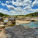
 Texas Hill Country Wildflowers: Where & When to See Blooms (2026 Updated)
- 10 Hotels to Avoid in Las Vegas in 2026 (And Why Guests Keep Complaining)
- 25 Most Beautiful Places in Texas to Take Pictures
- The Ultimate Texas in Summer Travel Guide: Best Places to Visit in 2026
- Things to Do in Fredericksburg Texas (2026): Hidden Gems + Local Favorites